
Geolocation
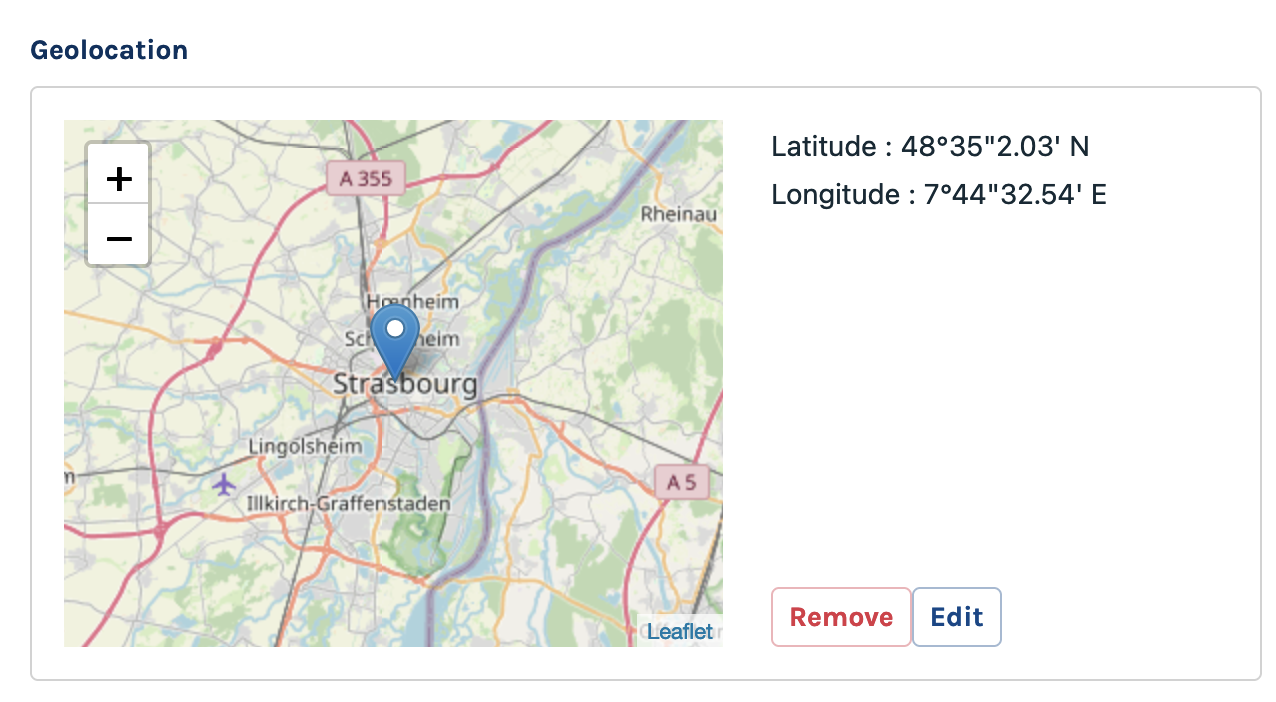
A map-based field to pick a precise location and return its coordinates (latitude and longitude)
Class: Code16\Sharp\Form\Fields\SharpFormGeolocationField
|
|
Configuration
setDisplayUnitDegreesMinutesSeconds
Sets the coordinate display to be degrees-minutes-second, eg: 17°10'16'', 89°17'45''
setDisplayUnitDecimalDegrees
Sets the coordinate display to be decimal degrees, eg: 0.36666667, 17.15722222. This is the default.
setInitialPosition
clearInitialPosition
Sets the initial position of the edit map, when there in no marker yet.
setBoundaries
clearBoundaries
If needed, set boundaries to the edit map, providing a north-east and a south-west position.
setZoomLevel
Set the map zoom level, from 1 (the World) ou 25. Default is 10.
setMapsProvider
You can choose between 2 providers for the Maps display:
- "gmaps" for Google Maps (requires an API key, see below)
- "osm" for Open Street Maps
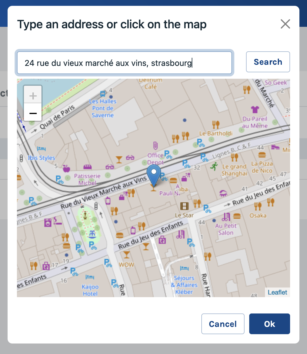
setGeocoding
Authorize geocoding, meaning enter an address and get back the coordinates. Default is false. May require an API key depending on the provider (see below).
setGeocodingProvider
You can choose between 2 providers for geocoding:
- "gmaps" for Google Maps (requires an API key, see below)
- "osm" for Open Street Maps (Nominatim)
setApiKey
If you use Google Maps as provider, for maps ou geocoding, you'll need a valid Google Maps Api key. This method will set the API key for both maps and geocoding.
setGeocodingApiKey
This method will set the API key for geocoding only.
setMapsApiKey
This method will set the API key for maps only.
Formatter
toFront: expects a string with comma-separated decimal degrees values (0.36666667,17.15722222for instance).fromFront: returns a string with the same format thantoFront.